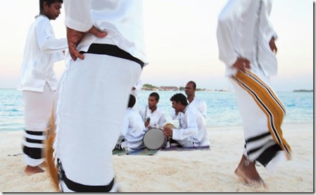
One of my friends at Microsoft (and former teammate), Steve Clayton, has the jobs title of ‘Story Teller’. He has made a career out of telling stories for richly illustrating the intricate tapestry of Microsoft technology. The Naladhu resort brings stories to its own guest offering a storytelling evening. Not just reading Dr. Suess, but executed with so much style and panache I suspect the adults would want to go along as well (I know that I would). They host it in a coconut grove (I love it when the resorts do more activities out in the natural surroundings) and they explore the folklore of Maldives. The trips to local village islands are always popular excursions and I know that many visitors are keen to seek out a bit ‘culture’ on their trip. If so, Naladhu offers a colourful portrayal…
- “Did you know that the Maldives has an oral literary tradition that extends back almost 1,000 years? A rich history of sailors, pirates, seafaring princes, sultans and British colonial governors? A language unlike any on Earth? A must on the itinerary of any guest to Naladhu is a storytelling evening in our island’s coconut grove with Ahmed Didi, the Island Chief. A native to our very island for – well, longer than anyone really knows! – Ahmed is a lively character with a richly detailed memory filled with island tales from his own lifetime and generations beyond. He shares his love of this island nation and its rich folkloric tradition in casual (yet dramatic!) stories. Naladhu is proud preserve Maldivian culture and share it with our guests during this unique evening back in time.”
