

Q: How did the Maldivian atolls form?
A: Ancient volcanos who collapsed in on themselves and sunk?
Q: Buzzz…while that was the theory for year, put forth by none other than Charles Darwin, modern research shows…
Q: How long ago did the Maldivian atolls form?
A: Millions of years ago?
Q: Buzzz…the Maldives atolls are actually younger that the pyramids.
The revised understanding of atoll formation is the result of André Droxler, an emeritus professor of marine geology at Rice University in Texas who spent four months at the Maldives National University in 2023 as a Fulbright scholar recently featured in the Maldives Independent article “Younger than the pyramids: teaching students how the Maldives really formed”:
- “For generations, Maldivian students learned that their islands formed through the slow sinking of ancient volcanoes, an elegant and intuitive theory proposed by Charles Darwin in 1842 that remains in textbooks worldwide. But a new supplementary curriculum is now teaching them what drill cores and seismic surveys have revealed: Darwin was working with incomplete information, and the real story is both stranger and more relevant to the future of a low-lying archipelago facing accelerated sea level rise…’These tiny atolls are just the last, last, last phase of this very long-term evolution of this reef system,’ Droxler explained. ‘The atolls have nothing to do with the volcanic plateau. It’s only the last half a million years, while this entire carbonate edifice is 55 million years long’.”
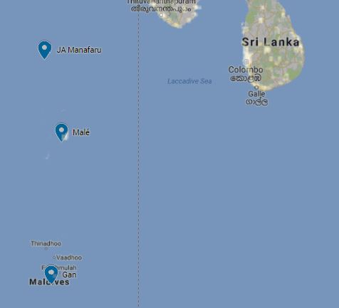
- “Malé began forming less than 4,500 years ago. The island most likely took its current shape only in the past 2,000 years, making it younger than the pyramids of Giza. The islands of the Maldives Archipelago only formed in the last 5,000-4,000 years as the results of the local emergent accumulations of reefal cobbles, pebbles, and sands behind the active coral reefs, when the rates of sea level rise slowed down dramatically.”


