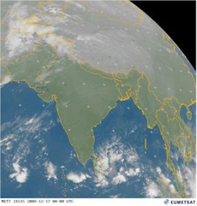
The bird’s eye view of the Maldives is one of the highlights of the destination and you don’t get much higher than the European Space Agency’s “Observing the Earth” application. This video a strikingly vivid satellite perspective of the Male area (with a rather banal narration).
Satellite Views
Virtual Earth and Google Earth provide useful and sometimes stunning images from above of the Maldives to provide a sense of where you are heading to. But often the images are months if not years old. If you want the uber-birds-eye view, especially to see what the weather is looking like, check out Eumetsat hourly satellite photography online for a peek at the (usually) blue skies awaiting you. The ‘Southern Asia’ (which covers the Maldives) colour photos are found here. If you select the ‘Play’ option, then the site goes through the pictures in sequence to provide an animation of the weather movements.

