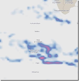
National Geologic Map day is just the time to share one of my new favourite sites. – Dark Sky. I’m a lover of visual representation of data (bit of an Edward Tufte groupie). Dark Sky brings together two of my favourite tools – maps and interactivity. To help share updates on everyone’s favourite topic (and often top reason for going to the Maldives) – the weather. In fact, all of my interactive graphical features on Maldives Complete are map based – Snorkel Spotter, British Admiralty Maps DeepZoom (needs IE unfortunately), and Dive Maps. The Dark Sky site is very high quality and aesthetically well done with lots of weather data.
In honour of Geologic Map Day, I have added the “Maps” tag to the blog.
Happy exploring!


Pingback: Gan – The Air Force Island: Maldivian Holidays - Maldives Complete Blog